Seattle City Clerk's Geographic Indexing Atlas
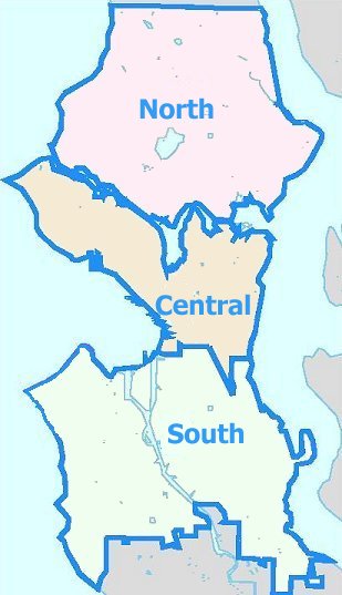
This Atlas is used for indexing the records of the Seattle City Clerk and Municipal Archives. The purpose of the atlas is to ensure consistency in indexing and as a reference, so that when a record is indexed as being about a particular neighborhood, researchers can identify what location is meant.
This atlas is not intended to represent City planning districts, neighborhood council districts, nor boundaries and neighborhood names defined by other associations. For more information, see About the Atlas.
Click on the map or use the links below to drill down to specific neighborhood areas.

